Mobile LiDAR Classification
MLS Classification Method
Structured labelling for complex 3D urban scenes.
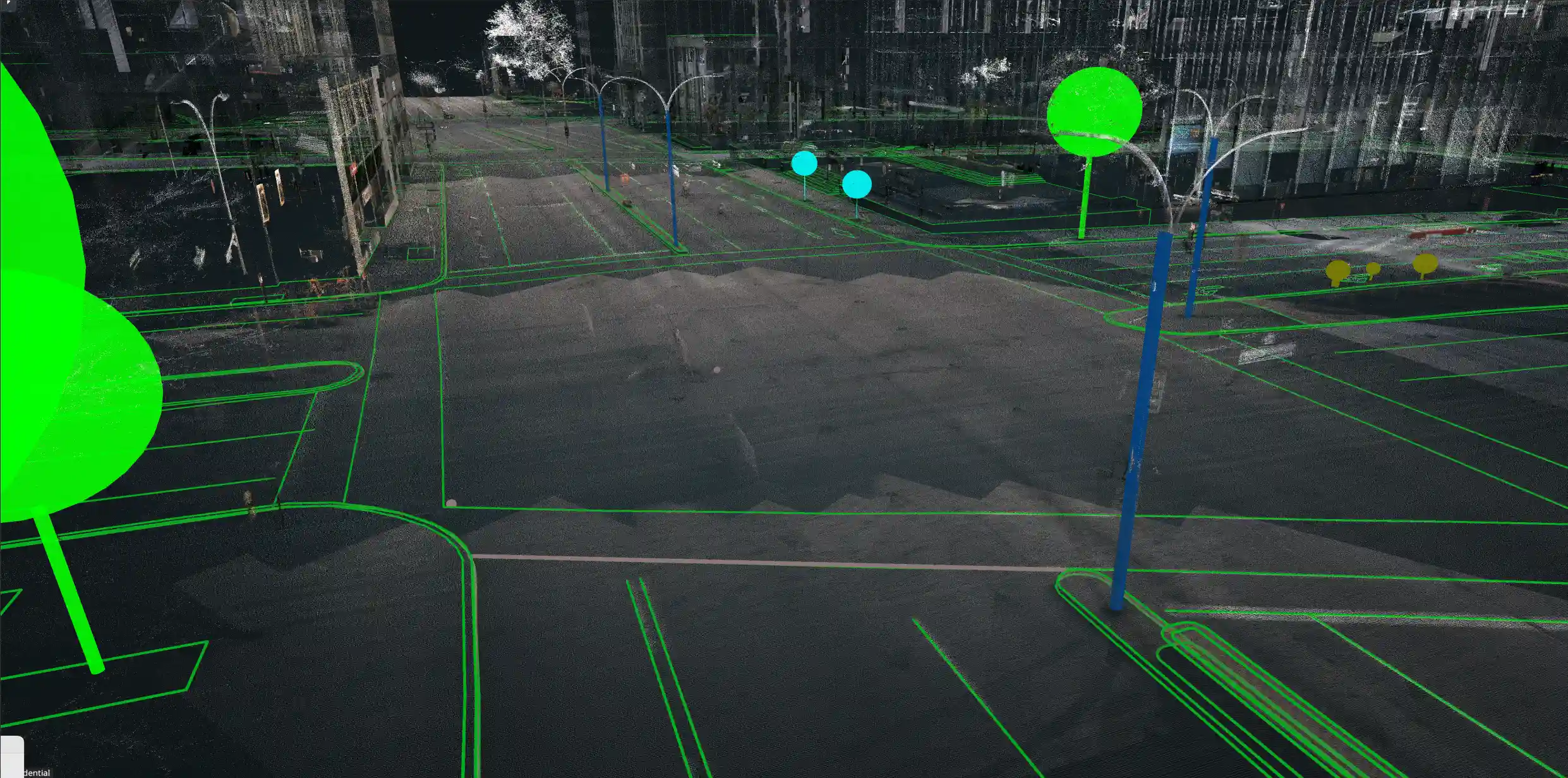
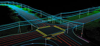
We support MLS point cloud classification using detrended geometric features extracted from supervoxel-based local context. The goal is to tag acquired points with clear object labels so roads, buildings, poles, vegetation, signs, terrain, and other urban features can be separated and analysed.
Assigning correct labels to points that belong to the same object category is an essential step in the larger 3D scene-analysis workflow, improving downstream mapping, engineering, and GIS production.
Our MLS Point Classification Services
Expert support for point-cloud labelling, mapping, and engineering requirements.
Earth On Mapping provides support, planning, and engineering for varied MLS Point Classification requirements. With experience across GIS services, planimetric mapping, orthophoto production, and digital terrain modelling, our team helps clients turn dense mobile LiDAR data into usable classified outputs.
Mobile Mapping Data
Classification of MLS point clouds captured from roads, corridors, urban lanes, and built environments.
Object Labelling
Consistent labels for road surfaces, poles, signs, buildings, trees, terrain, and street furniture.
Planimetric Mapping
Feature extraction and GIS-ready mapping support from accurately classified 3D data.
Terrain Modelling
Classified ground and surface information for DTM, DSM, profile, and elevation workflows.
Orthophoto Support
Integrated data preparation for orthophoto production and clean visual mapping outputs.
Quality Review
Focused review workflows that improve category consistency and make handoff easier for client teams.
Scene Analysis Workflow
From dense mobile scans to reliable classified intelligence.
MLS data captures dense detail, but value comes from separating the scene into meaningful classes. Our classification workflow makes the point cloud easier to interpret, measure, vectorize, and convert into project-ready mapping layers.
To understand how we create detailed maps and topographic outputs from MLS data, use the enquiry form or contact the team for a project discussion.